
Tonight
Partly cloudy
Hazy. Wind south 20 km/h gusting to 40 becoming light this evening. Low 13.
Tuesday
Chance of showers
A mix of sun and cloud. 60 percent chance of showers in the afternoon. Hazy. Wind becoming south 20 km/h gusting to 40 late in the morning. High 25. UV index 7 or high.
Tuesday night
Chance of showers
Partly cloudy with 60 percent chance of showers early in the evening. Clearing in the evening. Hazy. Wind south 20 km/h gusting to 40 becoming light in the evening. Low 12.
Wednesday
Sunny
High 26.
Wednesday night
Clear
Low 13.
Thursday
Sunny
High 28.
Thursday night
Clear
Low 14.
Friday
Sunny
High 30.
Friday night
Cloudy periods
Low 14.
Saturday
Chance of showers
A mix of sun and cloud with 30 percent chance of showers. High 26.
Saturday night
Chance of showers
Cloudy with 70 percent chance of showers. Low 14.
Sunday
Chance of showers
A mix of sun and cloud with 40 percent chance of showers. High 20.
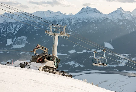
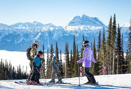
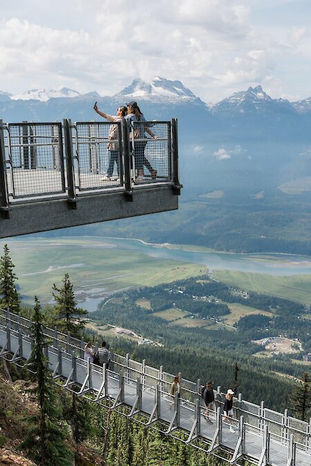
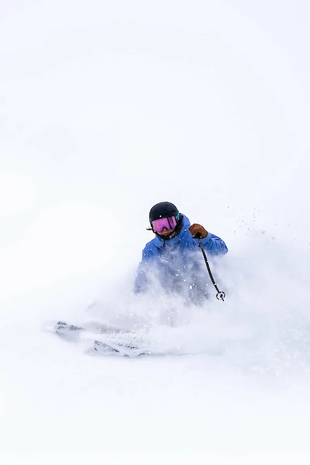
Revelstoke Mountain Resort is now closed. Thanks for the great season and we look forward to seeing you this summer!