
Today
Cloudy with scattered flurries.
- Snow: 4 cm
- Freezing level: 1400 metres.
- Alpine temperature: High -5 °C.
- Ridge wind west: 40-50 km/h.
Tonight
Clear periods with isolated flurries.
- Snow: 2 cm
- Freezing level at valley bottom.
- Alpine temperature: Low -11 °C.
- Ridge wind west: 30-50 km/h.
Saturday
Sunny with cloudy periods.
- Freezing level: 1000 metres.
- Alpine temperature: High -7 °C.
- Mostly light ridge wind occasionally gusting to 35 km/h.
Sunday
Sunny with cloudy periods.
- Freezing level: 1500 metres.
- Alpine temperature: Low -7 °C, High -1 °C.
- Ridge wind west: 15-35 km/h.
Monday
A mix of sun and cloud.
- Freezing level: 1700 metres.
- Alpine temperature: Low -3 °C, High -2 °C.
- Ridge wind west: 15 km/h gusting to 45 km/h.
Tuesday
Mainly cloudy with isolated flurries.
- Snow: 1 cm
- Freezing level: 1400 metres.
- Alpine temperature: Low -4 °C, High -3 °C.
- Ridge wind south: 10 km/h.
Wednesday
Flurries.
- Snow: 7 cm
- Freezing level: 1400 metres.
- Alpine temperature: Low -3 °C, High -2 °C.
- Ridge wind south: 10 km/h.
Thursday
Cloudy with scattered flurries.
- Snow: 5 cm
- Freezing level: 1400 metres.
- Alpine temperature: Low -5 °C, High -3 °C.
- Ridge wind southwest: 10-20 km/h.
Friday
Periods of snow.
- Snow: 15 cm
- Freezing level: 1300 metres.
- Alpine temperature: Low -5 °C, High -4 °C.
- Ridge wind south: 15-25 km/h.
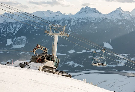
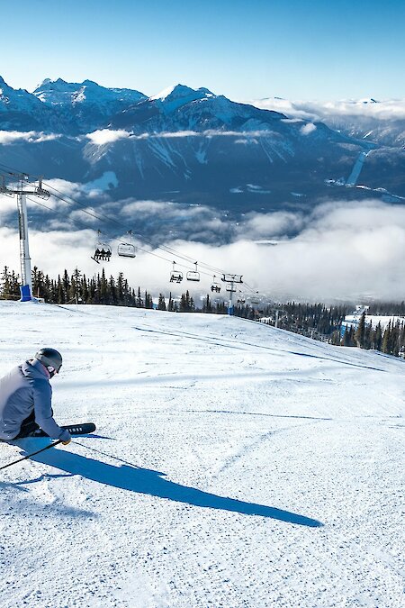
Another stormy day with high winds and snow. Ski Patrol will be working hard to open as much terrain as possible so respect all closures and signage. Have a good day
Backcountry Conditions
Strong winds will have created fresh windslab at higher elevations. Asses stability as you ease into your day. Avalanche Canada is rating the alpine danger at HIGH and recommend avoiding avalanche terrain. Go to avalanche.ca for more details.